")
")
")
")
GREENWAYS
Southern Gironès Plain
DOWNLOAD THE ROUTE
The municipalities it crosses are located to the south of Girona, in an area known as the Plateau of La Selva, and traces the Onyar river. Along the route we also find the Gotarra and Verneda creeks, an area surrounded by the classic Mediterranean forest of pines and oaks. It is located in a crossroads between the sea and the mountains - with the Gavarres to the east - that separate the region of Gironès from that of Baix Empordà.
What are the Greenways?
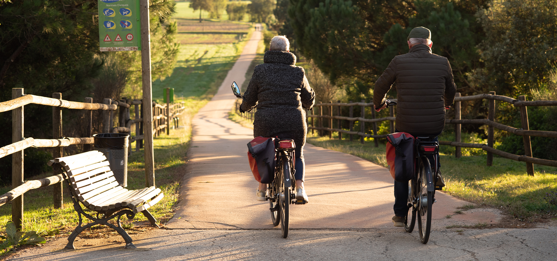
The Vies Verdes are old railways that have been converted into cycling and hiking itineraries. They are accessible and safe spaces, adapted for walking or cycling, which allow you to discover the territory in a sustainable and fun way. More specifically, in the districts of Girona there are more than 150 km of greenways spread over different routes that link the Pyrenees with the Costa Brava. These greenways are complemented by the Pirinexus route.
In recent years, the town of Cassà has become a central point in this network of greenways in Girona. Specifically, up to three greenways pass through the municipality or have their start there, among them Via Verda del Carrilet II.